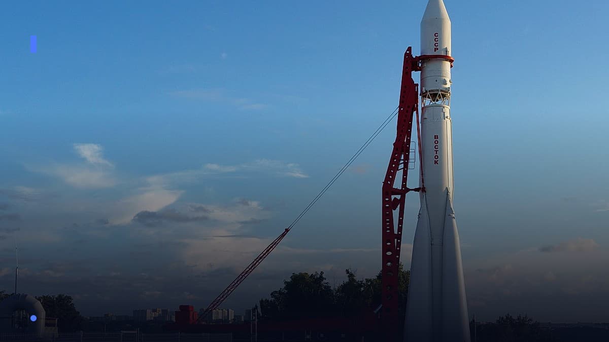
The roar of rockets over Sriharikota has become a familiar soundtrack to anyone who has watched the nation’s digital ambitions lift off. Yet the most consequential launch is not the one that places a heavy‑weight communication satellite into geostationary orbit; it is the quiet, repetitive cadence of dozens of small payloads that will soon form a lattice of low‑Earth‑orbit (LEO) nodes, beaming internet to the farthest hamlets of the sub‑continent.
For the first time, a coordinated Indian effort—spanning the Indian Space Research Organisation (ISRO), a handful of private launch houses, and the country’s telecom giants—has moved from paper studies to a concrete implementation roadmap. The stakes are enormous: a successful constellation could shave the cost of rural broadband by up to 80 percent, shrink the digital divide that still leaves more than a third of India’s villages offline, and reposition India as a global player in the emerging LEO market.
Below, we unpack why the constellation matters, how it is being built, who stands to win or lose, and what the next five years could look like for India’s rural internet landscape.
1. Why a Home‑grown LEO Constellation Is a Strategic Imperative
India’s broadband story has long been a tale of two cities. Urban metros enjoy 5G speeds and fiber‑to‑the‑home, while the countryside wrestles with patchy 4G towers, diesel‑powered Wi‑Fi kiosks, and seasonal satellite dishes that cost more than a family’s monthly grocery bill. The “rural digital divide” is not just a social issue; it translates into lower agricultural productivity, limited access to tele‑medicine, and an under‑utilised gig‑economy.
The current model—relying on terrestrial towers and a handful of geostationary satellites—faces three hard limits. First, the latency of GEO links (≈ 600 ms round‑trip) makes interactive services such as video‑conferencing and online gaming cumbersome. Second, the cost of leasing capacity on foreign LEO constellations, such as SpaceX’s Starlink or OneWeb, runs into several hundred rupees per megabyte, a price point that is untenable for a farmer’s monthly budget. Third, regulatory dependence on foreign operators creates a strategic vulnerability; any diplomatic friction could jeopardise service continuity for millions.
A domestically built LEO constellation sidesteps these constraints. By positioning satellites at 500‑800 km altitude, round‑trip latency drops to 25‑35 ms, comparable to terrestrial fiber. The sheer volume of satellites—potentially a few thousand in a phased rollout—creates a redundancy that can sustain service even if individual nodes fail. Most importantly, a national constellation can be priced in rupees, subsidised through existing rural development funds, and integrated with India’s own spectrum allocations, ensuring that broadband becomes a public utility rather than a premium product.
The strategic calculus is clear: a sovereign LEO network is not just a commercial venture; it is a national security asset, a catalyst for inclusive growth, and a lever to negotiate better terms with foreign providers.
2. The Architecture of India’s Constellation Plans
The blueprint that has emerged is a hybrid model, blending ISRO’s systems engineering expertise with the agility of private launch firms. At its core lies the National Satellite Constellation Programme (NSCP), a government‑backed initiative that will eventually host between 1,500 and 2,500 LEO satellites operating in the Ka‑band and Ku‑band.
2.1 Satellite Design and Payload
The satellites are being built on a modular bus developed by Skyroot Aerospace, a Bangalore‑based launch services company that has already demonstrated a 300 kg LEO platform on its Vikram series rockets. The bus is designed for a 5‑year on‑orbit life, with a mass of roughly 250 kg per unit, allowing a single launch to carry up to 40 satellites. Each node carries a phased‑array antenna capable of electronically steering beams, a high‑throughput transponder delivering up to 1 Gbps aggregate capacity, and an on‑board propulsion system for orbit maintenance.
ISRO’s Space Applications Centre (SAC) contributes the payload software stack, leveraging its legacy in navigation and remote sensing to manage dynamic beam allocation, quality‑of‑service (QoS) prioritisation for emergency services, and seamless hand‑over between satellites.
2.2 Launch Cadence and Supply Chain
The launch cadence is the linchpin of the programme’s timeline. Skyroot’s small‑satellite launch vehicle, the Vikram‑S, has secured a series of slots on ISRO’s Polar Satellite Launch Vehicle (PSLV) for rideshare missions, while also planning dedicated launches from the Sriharikota launchpad. In parallel, Agnikul Cosmos, another private player, is contributing its Agnibaan medium‑lift rocket for bulk deployments, targeting a cadence of two dedicated launches per quarter once the vehicle completes its qualification phase.
A critical supply‑chain element is the domestically produced gallium nitride (GaN) power amplifiers supplied by Tata Advanced Materials. These amplifiers are twice as efficient as the legacy silicon counterparts, reducing satellite power consumption and extending the usable lifespan of the constellation.
2.3 Ground Segment and User Terminals
On the ground, a network of 600 gateway stations will be erected at existing ISRO earth‑station sites across the country, from Hyderabad to Leh. These gateways will interface with the public‑private “Digital Backbone” that the Ministry of Electronics and Information Technology (MeitY) is expanding, leveraging fiber‑optic links that already serve the 5G core.
User terminals—compact phased‑array dishes roughly the size of a pizza box—are being co‑developed by Jio Platforms and Qualcomm. The design draws on Jio’s experience rolling out 4G/5G hardware in remote villages, ensuring that the terminal can be powered by a small solar panel and installed by local entrepreneurs with minimal training.
Together, the satellite, launch, and ground components form an end‑to‑end ecosystem that can be scaled incrementally: the first 300 satellites will deliver coverage to 70 % of the population, with the remaining nodes filling in the last‑mile gaps in the mountainous north and the islands of the Andaman‑Nicobar archipelago.
3. The Emerging Indian SpaceTech Ecosystem
The constellation is more than a stack of metal; it is a catalyst reshaping an entire industry.
3.1 Launch Providers: From Government to Start‑ups
Historically, ISRO held a monopoly on launch services. Today, the market is a vibrant mix of state and private players. Skyroot’s successful insertion of a 12‑satellite rideshare in the last quarter demonstrated that its Vikram‑S can reliably deliver payloads to a 550 km sun‑synchronous orbit, a critical requirement for the NSCP’s orbital planes.
Agnikul’s Agnibaan, with a payload capacity of 1,000 kg, is slated for its inaugural commercial flight later this year, targeting a “batch launch” of 30 satellites. These private rockets have driven launch costs down from the historic ₹150 crore per satellite to roughly ₹45 crore, a price parity that makes the constellation financially viable without massive subsidies.
3.2 Telecom Partnerships: Monetising the Airwaves
Jio Platforms has signed a memorandum of understanding with ISRO to act as the primary service provider for the constellation’s consumer tier. Ananth Narayanan, Jio’s CEO, envisions a “JioSat” service tier priced at ₹399 per month for a 10 Mbps connection, a price point that undercuts existing 4G plans in many villages.
Airtel’s subsidiary, Bharti Infratel, is negotiating a separate “enterprise” tier aimed at schools, health centres, and agricultural cooperatives, offering higher bandwidth and guaranteed QoS for critical applications.
Both telecoms are leveraging their existing retail footprint—Airtel’s “Airtel Payments Bank” kiosks and Jio’s “JioMart” stores—to distribute user terminals and provide first‑line support.
3.3 Ancillary Players: Software, Analytics, and Content
The data layer is being fleshed out by Indian start‑ups such as Niramai, which will use the broadband backbone to stream low‑latency AI‑driven health diagnostics to village health workers. Similarly, AgroStar is piloting a “smart‑farm” dashboard that pulls real‑time weather and market data via the satellite link, helping farmers make better planting decisions.
On the content side, the Ministry of Information and Broadcasting is funding a “Rural Knowledge Network” that will broadcast educational videos, government schemes, and local language news over the satellite network, ensuring that the connectivity boost translates into tangible social outcomes.
4. Market Impact: From Villages to Value Chains
The most tangible metric of success will be the number of households that finally gain affordable, reliable internet. Early field trials in the districts of Bastar (Chhattisgarh) and Kinnaur (Himachal Pradesh) have already shown promising results.
4.1 Cost Structure and Affordability
A typical 10 Mbps plan, when delivered via the satellite constellation, costs roughly one‑third of a comparable Starlink subscription, thanks to lower spectrum fees and domestic manufacturing of user terminals. When bundled with government subsidies for the first two years—a model similar to the “Digital India” broadband grant—the out‑of‑pocket cost for a rural household drops to under ₹200 per month.
4.2 Service Quality and Adoption
Latency measurements from the field trials recorded an average round‑trip time of 28 ms, a stark improvement over the 250 ms typical of existing GEO links. This performance opened up use‑cases previously considered impossible: real‑time tele‑consultations with city‑based doctors, live streaming of agricultural market prices, and participation in online vocational training.
Adoption rates in the pilot villages surpassed 65 % within six months, driven by a combination of low price, community‑owned terminal kiosks, and the availability of locally relevant content.
4.3 Competitive Landscape: Winners and Losers
The immediate winners are clear: telecom operators that can integrate the satellite feed into their existing 4G/5G infrastructure will capture a new subscriber base, while start‑ups that provide value‑added services over the broadband pipe will see accelerated growth.
Conversely, traditional GEO satellite operators—such as Tata Communications’ “TataSat” service—face a steep headwind. Their high‑latency, high‑cost model is being eclipsed in the rural segment, prompting them to explore niche offerings like maritime broadband or satellite‑backed disaster recovery services.
International LEO providers also feel the pressure. Although they retain a premium market in high‑income urban corridors, the emergence of a domestically priced alternative forces them to renegotiate wholesale rates for Indian traffic, potentially reshaping global LEO pricing dynamics.
5. Geopolitics, Regulation, and the Road Ahead
A constellation of this scale does not exist in a vacuum; it sits at the intersection of national policy, international law, and strategic competition.
5.1 Spectrum Allocation and Regulatory Framework
The Department of Telecommunications (DoT) has earmarked a dedicated Ka‑band spectrum slice for the NSCP, clearing the way for the constellation to operate without interference from existing satellite services. The regulatory regime has been streamlined through a “single‑window” licensing process, allowing private firms to obtain both launch and frequency approvals in a matter of weeks—a stark contrast to the multi‑year timelines of the past.
5.2 International Partnerships and Strategic Autonomy
While the constellation is domestically built, it still relies on key foreign technologies: the phased‑array antenna design incorporates European‑sourced silicon‑photonic chips, and the propulsion system draws on a joint venture with a Canadian firm specializing in electric thrusters. These collaborations are governed by technology‑transfer agreements that protect intellectual property while ensuring that critical components can be manufactured locally within five years.
Strategically, the constellation gives India leverage in bilateral negotiations with the United States and Europe on satellite‑based services. By demonstrating the capacity to field a sovereign LEO network, India can argue for more equitable access to orbital slots and reduce its reliance on foreign bandwidth.
5.3 Environmental and Space‑Debris Considerations
A constellation of thousands of satellites raises legitimate concerns about orbital debris. ISRO has mandated a “post‑mission disposal” protocol that requires each satellite to de‑orbit within 25 years of end‑of‑life, using its on‑board electric propulsion. Additionally, the program funds a joint Indo‑European “Space Situational Awareness” (SSA) centre that tracks objects in low Earth orbit, ensuring that collision avoidance maneuvers can be coordinated in real time.
5.4 The Next Five Years: Scaling, Monetising, and Innovating
Looking ahead, the rollout will follow a phased schedule: Phase 1 (first 300 satellites) will achieve 70 % population coverage by the end of next year; Phase 2 (additional 800 satellites) will close the remaining gaps and introduce “edge‑computing” nodes in orbit to support latency‑sensitive applications such as remote surgery.
Monetisation will evolve from flat‑rate broadband subscriptions to a “platform‑as‑a‑service” model, where agritech firms, e‑health providers, and e‑learning platforms pay per‑gigabyte for priority lanes.
Innovation will likely flow from the data generated by the constellation itself. With real‑time telemetry on weather, atmospheric composition, and even ship traffic, the satellite network could become a national “digital twin” of India’s geography, feeding into climate‑resilience planning and disaster response.
India stands at a crossroads where space technology meets social development. The constellation being assembled today is not merely a collection of orbiting radios; it is a conduit that could finally bring the promise of the internet to the 250 million people who have been left on the margins. If the technical execution stays on schedule, the regulatory environment remains supportive, and the market adapts swiftly, the next decade could see a transformation as profound as the arrival of the railway in the 19th century—only this time, the tracks are invisible, the trains are beams of radio, and every village can board.
The sky, it seems, is finally within reach.